After more than a year of work, the Seattle Redistricting Commission has voted to adopt the Final City Council Districts Plan. The plan follows Washington state and Seattle City Charter regulations and considers months of public engagement and work with Geographic Information System experts and mapping tools.
Members of the public can view the map at https://www.seattle.gov/redistricting/how-to-participate.
During the November 8 Seattle Redistricting Commission meeting, Commissioners voted on a resolution to approve the final map that had been adopted as a final draft on October 31. This map meets the requirement that the population of the largest district shall exceed the population of the smallest district by no more than 1% and all other boundary criteria articulated in the City Charter. The new Seattle District Council Map includes changes to all seven City Council electoral districts with the boundaries of Districts 1, 2, 5, and 6 expanded to increase their populations and the boundaries of Districts 3, 4, and 7 contracted to decrease their populations.
View the NEW City District Council Map:
For more information about the Seattle Redistricting Commission, visit seattle.gov/redistricting.
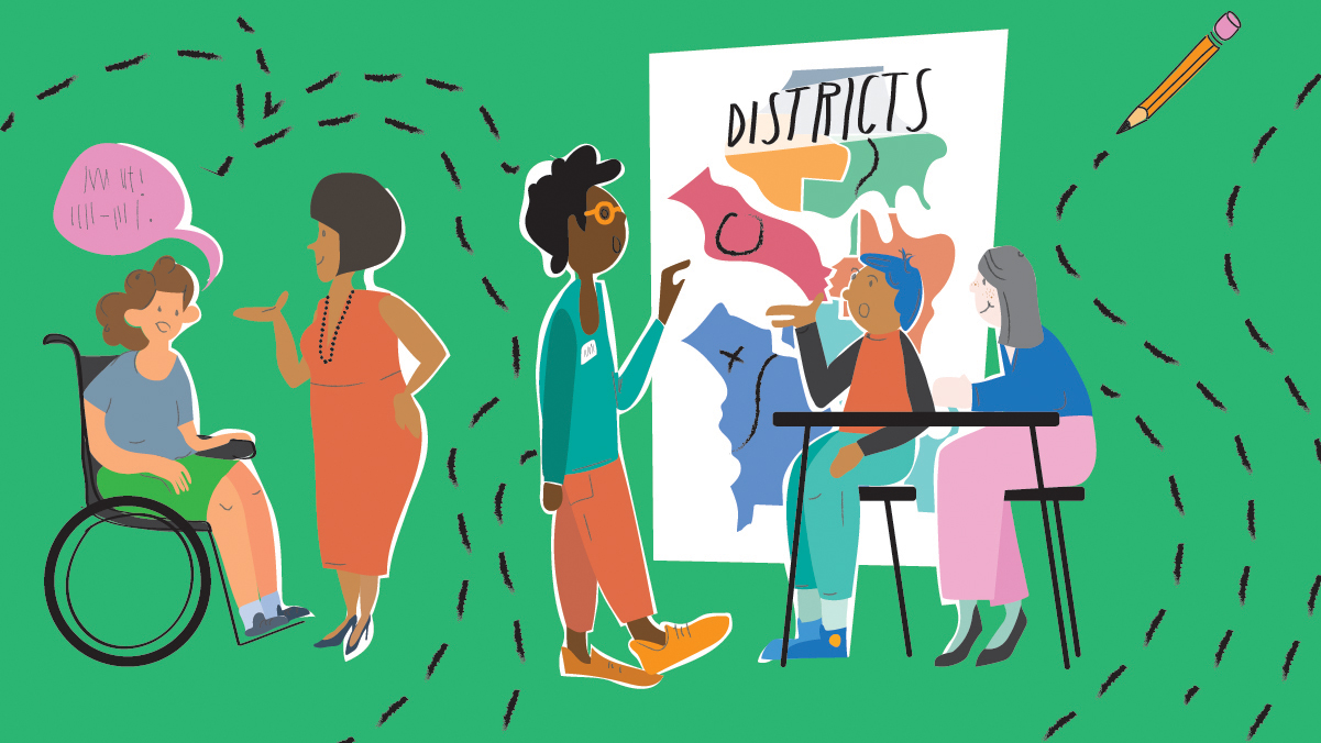
The Seattle Redistricting Commission is an independent, non-partisan body of five appointed Seattle residents that is responsible for redrawing the new Seattle City Council district boundaries to reflect the city’s population growth. The Commission follows City Charter mandated criteria using geographic information system (GIS) expertise and the latest 2020 Census data to draw new boundaries and produce districts that are approximately equal in population, compact and contiguous and not gerrymandered, and shall not consider the residence of any person. See first sentence and last sentence of Art. IV Sec. 2 Subdivision D(3): The Charter of The City of Seattle | Municipal Code | Seattle, WA | Municode Library. The Commission must also consider additional factors, such as following existing district boundaries, recognizing waterways and geographic boundaries, and acknowledging Seattle’s communities and neighborhoods.